Fifty-Three Studio
Detroit streetcar system map print, 1950
Regular price
$55.00
Shipping calculated at checkout.
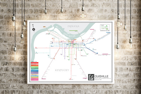
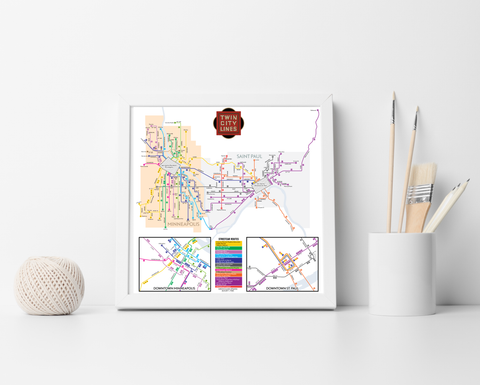
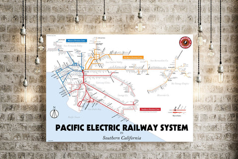
The newest print I've come out with is a redrawn map of the Detroit streetcar system in 1950, three years before the system's elimination, and before widespread freeway construction shredded the city core. It's an interesting look at what might have been if the region had decided to keep the mass transit system-- but, of course, that was politically impossible.
- Poster printed on satin finish 80# cover stock - 220 GSM in Nashville, Tennessee.
- Image will be printed with a border for framing.
- Please allow five business days for production before it gets shipped out.
- Free standard shipping within the US!
All designs I sell here are made by me! If there's something you'd like custom-made, shoot me a message.