Toronto streetcar system map print, 1932
Toronto, unusually among North American cities, kept most of its streetcar system from before World War II. I drew a map of the system based on a 1932 original, and it's surprisingly extensive, matching much of what the network looks like now, even though the two busiest lines-- the Yonge-Spadina and Bloor-Danforth lines-- have been replaced with rapid transit lines. This map was featured by BlogTO.
- Designed in New York City, printed in Nashville, Tennessee.
- Printed on satin finish 80# cover stock - 220 GSM.
- Image will be printed with a border for framing.
- Please allow five business days for production before it gets shipped out.
- Free standard shipping within the US, flat rate shipping to Canada.
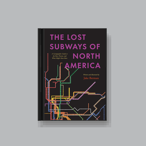
All designs I sell here are made by me! If there's something you'd like custom-made, shoot me a message.