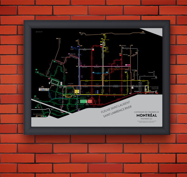
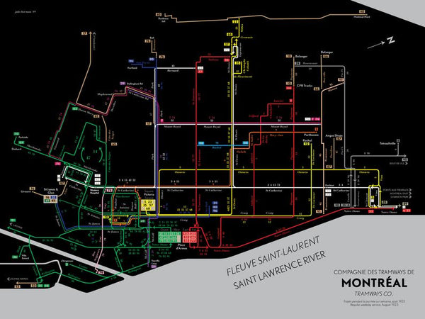
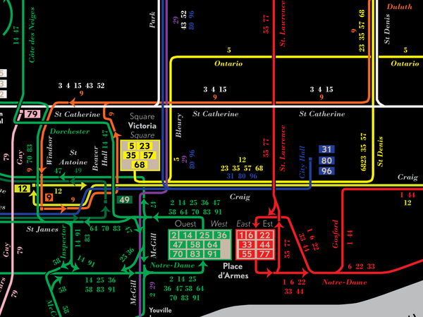
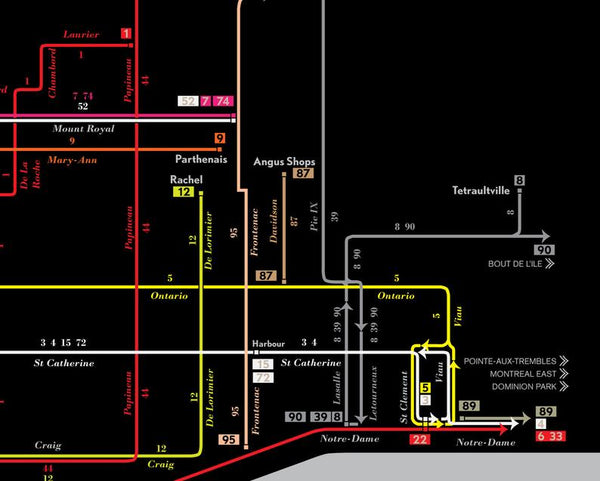
Montreal streetcar system map print, 1923
Until the 1960s, Montreal was both the biggest and most important city in Canada. As such, it had a very large streetcar system as befitted the most important city in British North America. This is a map I drew of the 1923 system; all of this would eventually be eliminated and replaced with buses. Like San Francisco, they eventually decided to build a full-blown subway system.
- Designed in New York City, printed in Nashville, Tennessee.
- Printed on satin finish 80# cover stock - 220 GSM.
- Image will be printed with a border for framing.
- Please allow five business days for production before it gets shipped out.
- Free standard shipping within the US, flat rate shipping to Canada.
All designs I sell here are made by me! If there's something you'd like custom-made, shoot me a message.


