Columbus, Ohio streetcar system map, 1939
Columbus, population 300,000, was at the tail end of the streetcar era by 1939. Lesser-used streetcar lines were being continuously shut down, as the greater expense of operating streetcar lines was putting significant pressure on its operator, the Columbus & Southern Ohio Electric Company. (Today, the company is a subsidiary of American Electric Power and continues to provide electricity to greater Columbus.) This map is based on a period service guide.
- Printed on satin finish 80# cover stock - 220 GSM in Nashville, Tennessee.
- Image will be printed with a border for framing.
- Please allow five business days for production before it gets shipped out.
- Free standard shipping within the US.
- Proudly made in the USA!
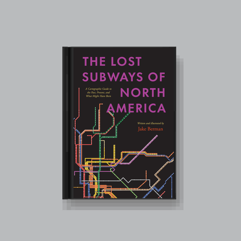
All designs I sell here are made by me! If there's something you'd like custom-made, shoot me a message.