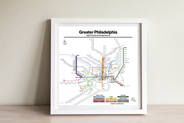
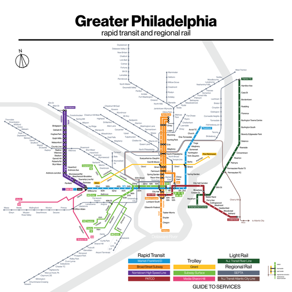
Philadelphia SEPTA rapid transit map
Philadelphia has a surprisingly large network of trolleys, rapid transit, light rail, and regional rail, most of which was built pre-World War II. While the busiest lines are the trolley and subway lines, the regional rail lines have enormous potential for conversion to rapid transit. When designing the map, I went for a retro aesthetic. This map was originally commissioned by an old friend, who gave me permission to resell it.
- Printed on Satin finish 80# cover stock - 220 GSM in Nashville, Tennessee.
- Image will be printed with a border for framing.
- Please allow five business days for production before it gets shipped out.
- Free standard shipping within the US.
- Proudly made in the USA!
All designs I sell here are made by me! If there's something you'd like custom-made, shoot me a message.


